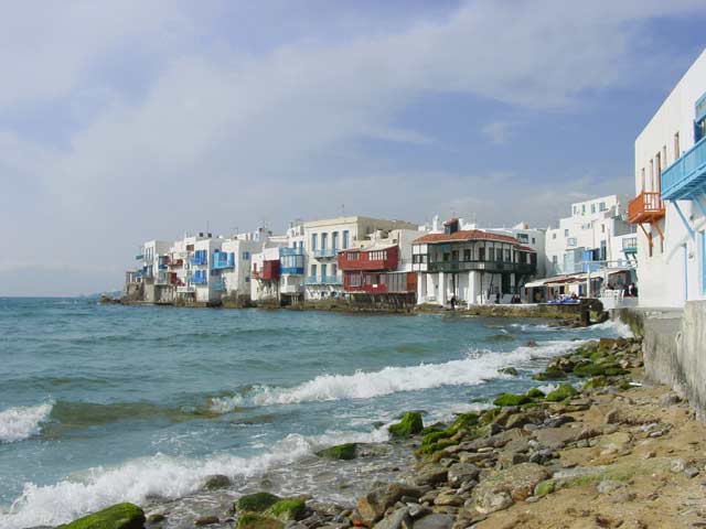
Geographical & Historical Outline of Mykonos
Mykonos lies south-east of Piraeus, near Delos, Rinia, Tinos and Naxos and belongs to the prefecture of Cyclades.
It is 94 nautical miles southeast of Piraeus, with an area of 86 square kilometers and about 80 kilometers of coastal line.
The island has rocky terrain, with few hills and mountains.
Its coastline is indented by many bays and sheltered inlets, with sandy beaches.
Geographical & Historical Outline of Mykonos
Legend has it that Mykonos took its name from Mykonos son of the hero Anios.
In the castle of Chora, traces of Cycladic civilization have been found, and the remains of a fortification wall and two classical towers are preserved at Linos.
The earliest inhabitants of the island are thought to have been Karians.
They were followed by Egyptians, Phoenicians, Cretans and finally, Ionians.
After the end of the Persian Wars, Mykonos became a member of the First Athenian Confederacy and came under the influence of Delos, whose fate it shared until its destruction by Mithridates.
During the Byzantine times, Mykonos was part of the prefecture of Achaia and during the Venetian era the Gizi brothers conquered it together with Tinos island.
Mykonos took active part in the Greek Revolution of 1821.
In October 1822 the Turkish tried to debark on the island, but Mykonians averted them with Manto Mavrogenous as their leader.
In 1830 Mykonos along with the other Greek islands added to the free Greek Union.


