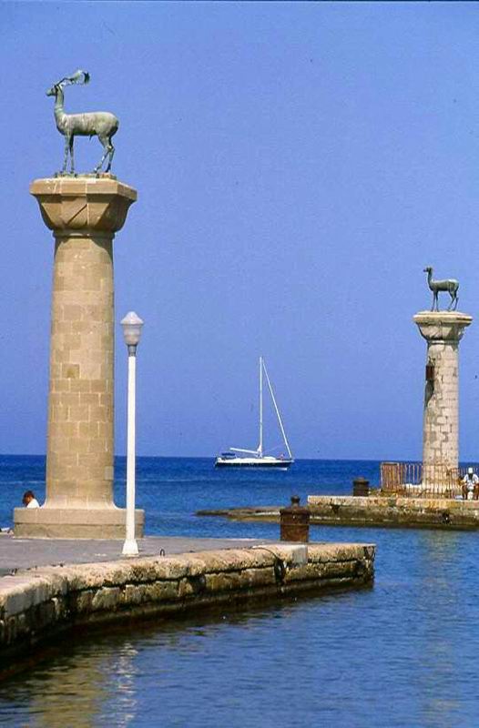
Rhodes Geographical & Historical Outline
Rhodes is the largest island in the Dodecanese and the fourth largest in Greece, with an area of 1.398 square kilometers and 220 kilometers of coastline.
The west part of the island is mountainous, the highest peaks being Attavyros (1.215 meters) and Akromytis (825 meters).
It has abundant waters, lush vegetation and a mild climate.
Rhodes Geographical & Historical Outline
In ancient times, Rhodes was home to one of the Seven Wonders of the World – the Colossus of Rhodes.
This giant bronze statue once stood in the harbor.
It was completed in 280 BC but was destroyed in an earthquake in 224 BC.
No trace of the statue remains today.
Rhodes has first inhabited in the Neolithic period. Its name derived from the mythical nymph Rhodos or Rhode, daughter of Poseidon and Amphitrite.
In important landmark in the island’s history were the unification of the three Doric cities Ialysos, Kameiros, and Lindos and the foundation of the city of Rhodes at the north-east corner of the island (408 BC).
The city’s power spread, it struck its own coins, acquired considerable military power and a strong fleet and had a flourishing tradition in the arts and letters.
After the 3rd c.BC, a period of decline began.
In AD 57 it was visited by St. Paul, who taught the word of God and baptized the first Christians on Rhodes.
During Byzantine times the island fell into obscurity, and in the following centuries came into the hands, successively, of the Crusaders, the Genoese and the Knights of the Order of St. John, finally falling to the Turks.
Under the Knights of St. John it prospered greatly (1309-1522).
At this period was built the medieval city and the island had a powerful fleet.
Today, Rhodes is one of the most cosmopolitan islands of international repute, offering high quality services and many facilities for entertainment and sports.


