Geographical & Historical Outline of Lesvos
Lesvos is the third largest of the Greek islands, after Crete and Evia, with an area of 1.632 square kilometers and 370 kilometers of coastline.
It lies between Lemnos and Chios, near the Turkish coast.
Its terrain is hilly, but there are many plains with olive and fruit trees.
The hills are covered by dense woods.
Between the villages of Eressos, Sigri and Antissa is a petrified forest.
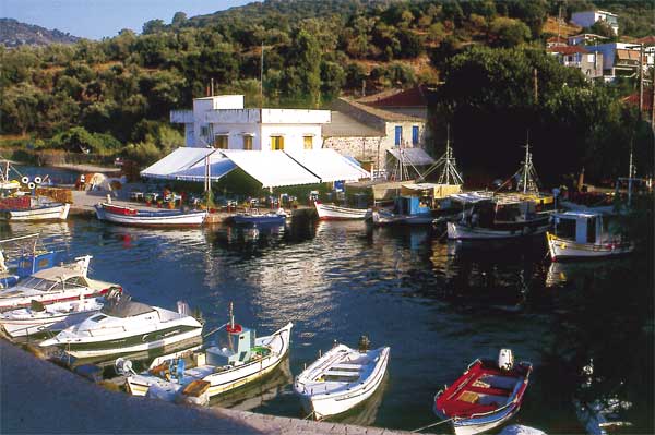
The bays of Gera and Kalloni have such narrow entrances that they resemble Lagoons and are rich fishing grounds.
Administratively the island forms the prefecture of Lesvos, to which Lemnos and Agios Efstratios also belong, with its capital Mytilene.
Geographical & Historical Outline of Lesvos
Lesvos was inhabited as early as the prehistoric period.
It became an important naval power and the arts and letters flourished here during the 7th and 6th c. BC.
In ancient times, it was the birthplace of famous poets, musicians, philosophers and historians: Terpander, Sappho, Alkaios, Arion, Xenophanes, Hellanikos, Pittakos, etc.
During the Peloponnesian War the island became an “apple of strife” between the Athenians and the Spartans and belonged now to one side, now to other.
Lesvos later fought on the side of Alexander the Great and in 88 BC became subject to the Romans.
During Byzantine times the island enjoyed a period of prosperity. After the capture of Constantinople by the Turks, it came under the control of Baldwin I.
It was liberated a few years later and the came into the hands of the Genoese for 107 years.
In 1462 the Turks made themselves masters of the island, which has liberated from them in 1912, after many struggles and terrible suffering under the Turkish domination.


