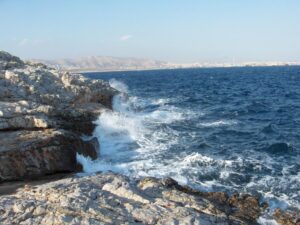
Geographical & Historical Outline of Salamina
Salamina, the closest island to Attica, lies across the mouth of the gulf of Elefsina, leaving narrow stretches of water between it and the neighboring coast.
It has an area of 95 square kilometers and 105 kilometers of coastline.
It is a fairly densely populated island, with about 30.000 inhabitants.
Geographical & Historical Outline of Salamina
According to the myth Salamis is named after the Nymph Salamina the daughter of the Corinthian river Asopos and Koulouri from the ancient cape where the ancient city was built in 4th century.
Salamina was inhabited from the Neolithic centuries, as the archaeological findings reveal on the southern part of the coast of the island.
The most important event in the history of this small island was the Battle of Salamis (480 BC), a naval battle fought in the straits between the Greek and Persian fleets, ending in a devastating defeat for the Persians.
During its history, Salamis has been conquered by the Macedonians, Romans, Byzantines and, finally the Turks, from whom it was liberated after the Greek War of Independence of 1821.


