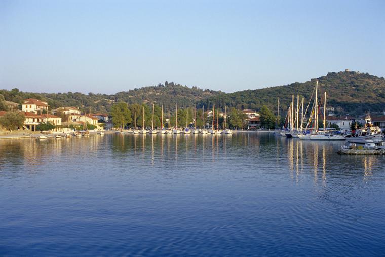
Tour of Meganisi
Geographical & Historical Outline
Meganisi is 4 nautical miles south-east of the harbor of Lefkada.
It is connected with Nydri by ferry boat.
It has an area of 19,85 square kilometers and 40 kilometers of coastline.
Meganisi is the largest island of a complex (Skorpios, Thilia, Kythros and more), composing the administrative district of the Municipality of Meganisi.
It has 3 settlements: Spartochori, Katomeri and Vathy. Katomeri is the capital of the island.
The first traces of life on the island date back to the Neolithic era.
The first name of the island was Taphos.
In general, from the ancient times up to the historical years, the destiny of Meganisi had always been connected with Lefkada.
During the 7th century B.C the island became a Corinthian colony (an artificial channel was first constructed by the Corinthians) and followed in all the important events until the Roman conquest in 197 B.C.
After the fall of Constantinople (1204) to the French, the island was given to Venetians but soon it was incorporated to the dominion of Epirus.
In 1294 (until 1479) the island came into the hands of the French and then Meganisi as well as Lefkada fell under Turkish rule until the return of the Venetians in 1684.
In 1797 the island passed into the hands of the French and one year later it felts under the Russian-Turkish rule. From 1807 to 1809 Meganisi was conquered by the imperial French only to fall in the hands of British in 1810.
Meganisi and Lefkada as well as the rest of the Ionian islands were united with Greece on the 21-05-1864 after the end of the British occupation.
Tour of Meganisi
Meganisi is the largest island of a group (Skorpios, Thilia, Kythros and more).
It is a picturesque and verdant island very close to Lefkada, an unexplored green paradise and the ideal place for quiet and peaceful holidays.
It has graphic settlements with traditional architecture, fine beaches with crystal and clear waters, quiet life and hospitable inhabitants.
The tourist infrastructures are excellent.
There are many hotel units, apartments, rooms and villas to let, restaurants, fish taverns and entertainment shops.
Meganisi has a good road network and local transportation.
Settlements
The island has 3 settlements: VATHY is built around the port, SPARTOCHORI and KATOMERI the capital which attracts many visitors.
Vathy is one of the main villages of the island and the point where the ferry calls.
It is beautiful with whitewashed houses and a few churches facing the sea. You will find a number of traditional taverns serving local specialties.
Spartochori village is located above the port. It has stone-built cottages and traditional fish taverns.
Katomeri the capital, is a typical island village with traditional architecture and hospitable inhabitants.
In the village you will find traditional taverns.
Porto Atherino is the port of Katomeri and it is used by fishing boats.
Tour of Meganisi
Beaches
The most popular beaches are Agios Ioannis, Spillia, Pasoumaki, Ambelakia, Atherinos, Faros, Limonari, Elia, Loutrolimni and Bereta.
Agios Ioannis is a long beach on the western coast of the island.
Close to the beach there is the homonym church from which it took its name.
Spilia beach is located at the far end of the homonym bay in Spartochori and has pebbles and crystal clear waters.
Limnonari is very close to Katomeri.
Its coast is sandy and its waters very clear.
Fanari beach is famous for its picturesque atmosphere.
It has a pebbled coastline and crystal clear waters. It can be reached by boat from Vathy.
On the island, there are some interesting and beautiful caves.
Papanikolis is one of them, named after submarine sheltered during World War II.


